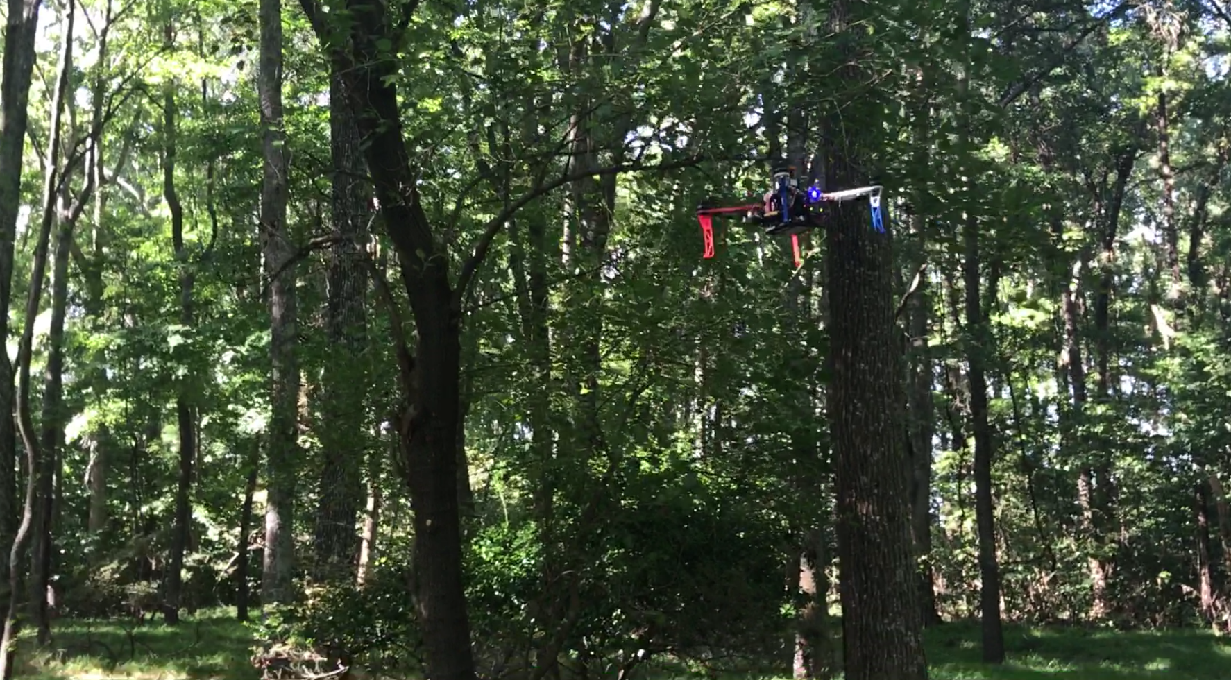
Lost hikers are often within a mile or two of the last point of detection for extended periods of time, but are undetected for hours at a time because manned aircraft cannot see through the overhead forest canopy. Small autonomous unmanned air vehicles, or drones, have been frequently proposed for search-and-rescue missions under the forest canopy. These vehicles can be rapidly deployed, can cover expanses of terrain quickly and are small enough to operate in reasonably thick forests.
We describe an experimental evaluation of a multi-vehicle UAS for search and rescue under the forest canopy. We examine the ability of multiple vehicles to carry out GPS-denied flight using laser-range finders for position estimation and map inference, plan trajectories, and fuse individual maps into a globally consistent model for exploration and search. We evaluate both a map construction process designed for search and exploration in the forest, and the corresponding search process itself.